Florida Environmental and Forestry Mapping Services
Properly created maps enable landowners the ability to manage their property in an efficient and cost-effective manner.

A Map is Key in Property and Land Management
A key element in assisting landowners with developing their forest management plan and managing their property is a map.
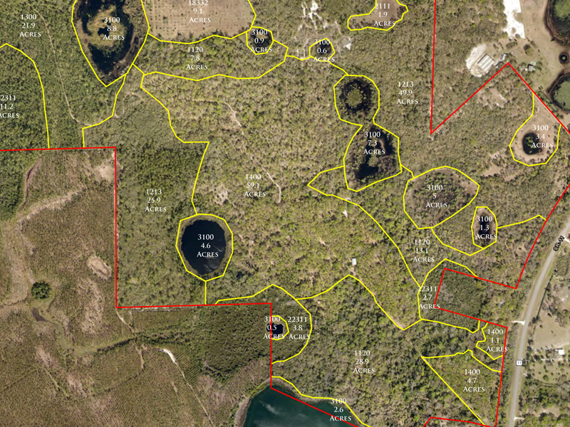
Properly created maps enable landowners the ability to manage their property in an efficient and cost-effective manner. Various types of maps can be created depending upon the needs, goals, and objectives of the landowner. Many land management activities are based upon a per acre price. Having a quality map with the proper acreages allows landowners the ability to ensure accurate accounting and billing for management services.
Mapping is also very important when determining the volume and value of timber a landowner owns, or wants to sell. Without a proper map and accurate acreages, the volume information and overall value of the timber stand could be easily misstated.
Utilization of State-of-the-Art Mapping Technology
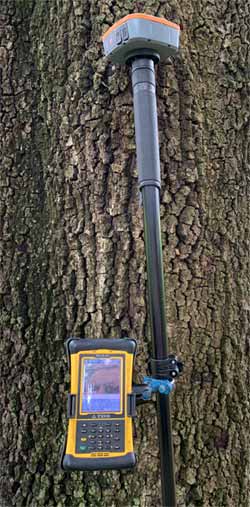
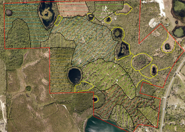
FES℠ utilizes state-of-the-art desktop software and sub-meter GPS receivers and field computers to assist landowners with the precise mapping of their property. Some examples of the types of maps we create are afforestation, ecological communities, endangered species, exotic species, property boundary and location, habitat management, hunting club, management history, mitigation, prescribed burning, reclamation, reforestation, restoration, site maintenance, site preparation, soils, stand, timber inventory, timber sale, topography, and wetland delineation maps.


Accurate Mapping via GPS
Our GPS units ensure the mapping information is accurate. Another key to mapping is ensuring the information on a map correlates to what is actually found in the field. We are able to integrate all types of data into our GPS units to be able to ground truth project maps and boundaries within the field. With our sub-meter GPS receivers, we are able to take the information provided and accurately delineate that information within the field so that it corresponds directly to the treatment boundaries within the scope of the project.
Accurate maps are the key to a Florida forestry project’s success
Many projects, such as mitigation, planting, reclamation, restoration, site maintenance, site preparation, timber sales, etc. all require the use of accurate maps. Often, the key to a project’s success is a result of being able to take information from the office, delineate it within the field, and accurately determine project boundaries and acreages.
For more information about mapping and our use of modern technology for accurate information, contact us and we will reach back out to you.
